
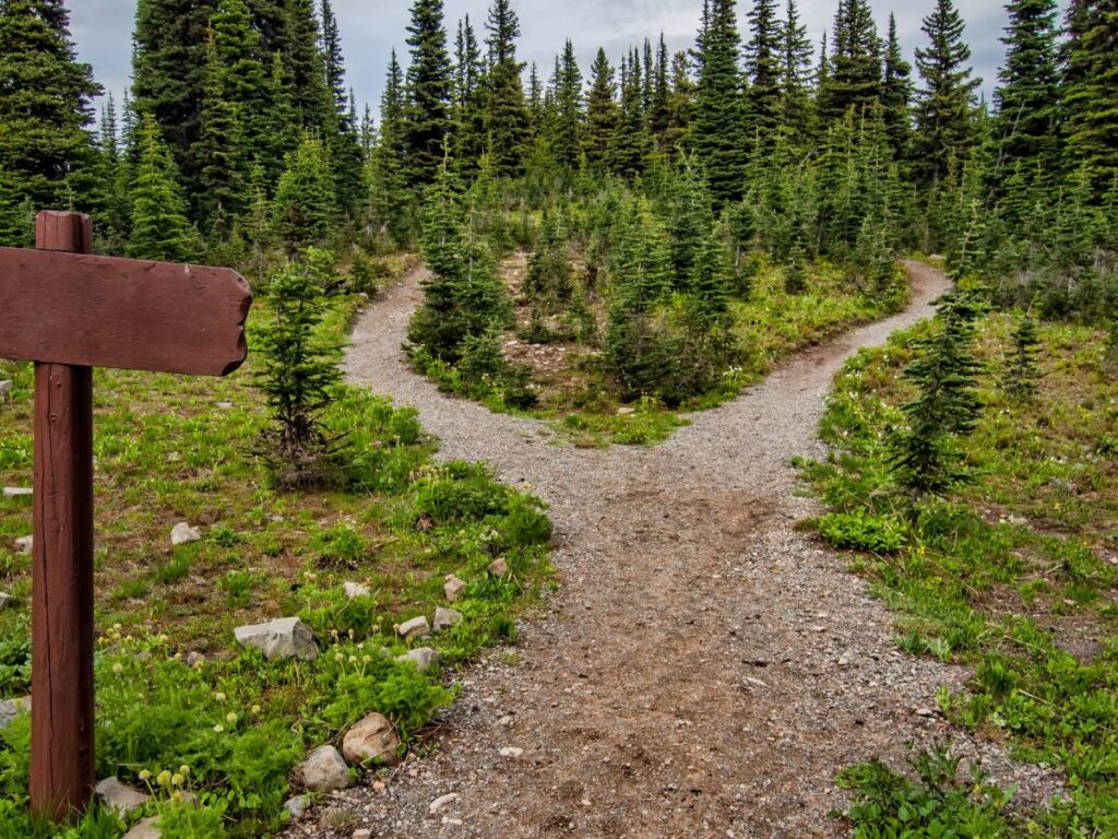
Yosemite National Park, spanning the eastern portions of Tuolumne, Mariposa, and Madera counties in the central part of California, stands as a testament to nature’s grandeur. Famed for its ancient sequoias, breathtaking waterfalls, and vast meadows, the park attracts millions of visitors annually from all over the globe. But such a popular destination demands careful planning, especially when it comes to navigating your way to its breathtaking vistas.
Understanding the various routes to reach Yosemite is vital. Whether you’re coming from the busy streets of Los Angeles, the iconic Golden Gate Bridge of San Francisco, or the glitzy avenues of Las Vegas, knowing how to approach Yosemite can significantly impact your journey. Different routes offer distinct sceneries, potential road conditions, and travel times. With Yosemite’s vast expanse and the remote nature of some of its attractions, having a clear plan on how to arrive can set the tone for a memorable visit.
This guide aims to provide you with a comprehensive understanding of the different ways to reach Yosemite National Park. So, whether you’re a first-time visitor or a seasoned traveler looking for a new perspective, read on to ensure a smooth journey to one of America’s most cherished natural wonders.
Driving to Yosemite National Park
From San Francisco
If you’re embarking on your journey from the iconic city of San Francisco, you’re in for a scenic treat. San Francisco to Yosemite National Park covers approximately 190 miles. Depending on the specific route, traffic conditions, and your starting point within San Francisco, the drive typically takes around 4 to 5 hours. The most commonly recommended route is to take the I-80 E from San Francisco, merge onto I-580 E towards Hayward/Stockton, then continue on CA-120 E which leads directly into Yosemite National Park. This route takes you through the beautiful Central Valley of California and into the foothills of the Sierra Nevada mountains. While the drive is relatively straightforward, it’s essential to be prepared for possible traffic delays, especially during peak tourist seasons. Moreover, CA-120 is subject to winter closures, so always check road conditions if you’re traveling in the colder months.
From Los Angeles
Driving up from the sprawling cityscapes of Los Angeles brings a transformative experience as urban sights give way to natural grandeur. The drive from Los Angeles to Yosemite National Park is approximately 310 miles. The journey can take between 5 to 7 hours, contingent on your specific starting location in Los Angeles, the chosen route, and current traffic conditions. The primary route involves taking the I-5 N from Los Angeles to CA-99 N. You’ll then transition to CA-41 N in Fresno, which leads directly into the southern entrance of Yosemite National Park. This route provides a picturesque transition from California’s interior plains to the magnificent Sierra Nevadas.
As with any long drive, breaks are recommended, and there are plenty of small towns along the way to stop, stretch, and grab a bite. Always ensure your vehicle is in good condition, especially if traveling during summer when temperatures can soar in California’s Central Valley. As with any route to Yosemite, always be mindful of potential road closures or conditions, particularly during winter months.
From Las Vegas
Starting from the neon-lit boulevards of Las Vegas, the drive to Yosemite National Park offers a striking transition from desert landscapes to alpine vistas. The journey from Las Vegas to Yosemite spans approximately 400 miles. The trip usually takes around 6 to 8 hours, depending on traffic and chosen route. Begin on I-15 N from Las Vegas. Proceed northwest to US-95 N towards Reno. When you approach Tonopah, transition to CA-120 W, which will lead you towards the eastern entrance of Yosemite National Park, through the Tioga Pass. Please note that Tioga Pass is a seasonal route and might be closed during the winter due to snow.
Travelers should check the status of Tioga Pass if traveling in the fall, spring, or winter, as it is subject to closure. Also, it’s a good idea to fuel up in larger towns as gas stations can be sparse in this region.
From Sacramento
Setting off from California’s capital, Sacramento, provides a relatively direct and scenic route to the wonders of Yosemite. Sacramento to Yosemite National Park is roughly 180 miles in distance. The drive, under normal conditions, typically spans between 3.5 to 4.5 hours. Start on CA-99 S from Sacramento. Then, take the exit for CA-120 E in Manteca. Continue on CA-120 E, and it will guide you into the Big Oak Flat entrance of Yosemite National Park.
This route is popular and can become busy during peak times, especially weekends and holidays. To ensure a smoother journey, travelers may consider starting their trip early in the day or during weekdays. Always keep an eye out for current road conditions, especially if planning a trip in the colder seasons.
Seasonal Road Closures
Navigating the roads of Yosemite National Park requires a keen awareness of seasonal changes. Given its elevation and location within the Sierra Nevada mountains, certain routes become impassable due to snow, while others can become congested during peak times. Here’s what you need to know to plan a safe and enjoyable visit.
Winter Directions
Necessary Road Closures
- Tioga Pass (CA-120 through the park): This route is typically closed from late October or November through late May or early June, though specific closure and opening dates vary year by year based on snowfall.
- Glacier Point Road: This road is generally closed from November until late May or early June, once again, contingent on snow conditions.
Safety Measures and Travel Tips
- Equip your vehicle with snow chains, and check park advisories to know where and when they’re required. Even if not mandatory, it’s wise to carry them in your vehicle.
- Always check the weather forecast before your journey. Snowstorms can be sudden and severe in the mountains.
- Ensure your vehicle’s gas tank is full before entering the park, as gas stations within Yosemite are limited.
Summer and Peak Seasons
Expect congested roads, especially in the Yosemite Valley, from late spring through early fall. Weekends and holidays are especially busy.
Tips for Avoiding Congestion and Best Travel Times
- Try to start your journey early in the morning or later in the afternoon to avoid peak travel times.
- Consider visiting the park on weekdays when traffic is typically lighter.
- Utilize the free shuttle service in Yosemite Valley to reduce vehicle congestion and make your travels more convenient.
Specific Routes
Tioga Pass: One of the most scenic routes in California, Tioga Pass serves as the eastern entry to Yosemite National Park. However, due to its elevation (nearly 10,000 feet), it’s prone to heavy snowfall, necessitating its seasonal closure. When open, this route offers unparalleled views of the Sierra Nevada mountains and provides access to many high-country trails and alpine lakes.
Glacier Point Road: Leading to one of the most iconic viewpoints in the park, Glacier Point Road is a must-visit for those looking to get a panoramic view of Yosemite Valley. However, its elevation makes it susceptible to snow closures during winter months. During open months, especially summer, arriving early in the morning or late in the afternoon at Glacier Point can help you avoid the most significant crowds and secure parking.
Taking Public Transportation
For those who prefer a more eco-friendly, relaxed method of travel, or those without access to a personal vehicle, public transportation offers viable alternatives to driving to Yosemite National Park.
By Bus
Yosemite Area Regional Transportation System (YARTS): This is the primary public bus system servicing Yosemite National Park. YARTS buses run year-round from multiple locations including Merced, Fresno, Mammoth Lakes, and Sonora, directly into Yosemite Valley. The frequency and availability of buses vary based on the season. In addition to YARTS, other shuttle services and tours from nearby cities might be available. It’s advisable to check in advance, especially during peak seasons. YARTS fares vary based on your starting location and destination within the park. Children 12 and under typically ride free when accompanied by a fare-paying adult. Many bus fares include the park entrance fee. Make sure to retain your ticket or proof of purchase to validate this.
By Train
Amtrak: While no train route leads directly into Yosemite, Amtrak provides services to nearby stations such as Merced or Fresno. From these stations, travelers can connect to YARTS buses to enter Yosemite National Park. The San Joaquins route is one of the more popular Amtrak lines servicing areas near Yosemite. This route offers several daily round-trips between the San Francisco Bay Area (or Sacramento) and Bakersfield. Train fare depends on your starting location, destination, and the class of service you choose. It’s recommended to book your train ticket and bus connection in tandem to ensure smooth transitions and avoid long waiting times. Amtrak’s official website often provides bundled train+bus tickets for such routes.
Using public transportation not only diminishes your carbon footprint but also allows you to relax and enjoy the scenic beauty of California’s landscapes without the demands of driving. Remember to check schedules, make reservations if necessary, and always be aware of seasonal changes in availability.
Air Travel to Yosemite
For many visitors, especially those from international destinations or the East Coast, air travel is the most efficient way to begin their Yosemite adventure.
Nearest Airports
Fresno Yosemite International Airport (FAT): Located in Fresno, California, this airport is the closest major terminal to Yosemite National Park. A range of domestic airlines service this airport, making it accessible from numerous locations.
San Francisco International Airport (SFO): Situated near the urban sprawl of San Francisco, this major international airport provides more flight options, including numerous international flights. Virtually all major international and domestic airlines operate at SFO.
Other nearby airports include the Oakland International Airport (OAK) and Sacramento International Airport (SMF), both of which provide additional flight options and are within a few hours’ drive to Yosemite.
Airport Transfers
Shuttle Services: Direct shuttle services might not be available from all airports to Yosemite. However, YARTS provides connections from Fresno to Yosemite.
Rental Cars: Major car rental companies operate at all the airports mentioned, offering a range of vehicles. If visiting during winter, consider renting a vehicle equipped for snowy conditions.
Alternative Modes of Transportation
Sometimes, the journey can be as rewarding as the destination. For those looking to mix things up, consider these alternative transport options.
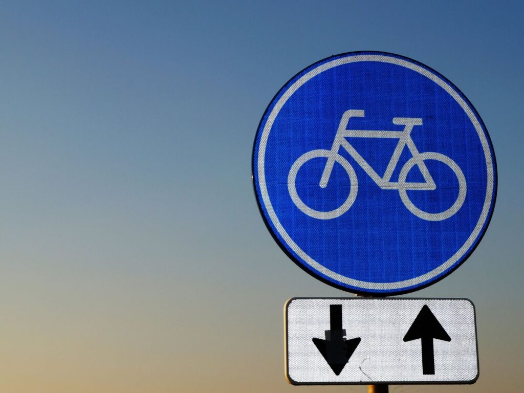
Cycling
While it’s possible to cycle to and within Yosemite, it’s vital to be aware of the challenges. The park’s mountainous terrain can be strenuous, and not all roads have dedicated bike lanes. Inside the park, Yosemite Valley offers the most bike-friendly routes, with rental bikes available during warmer months. If considering cycling to Yosemite from a distant location, ensure you’re well-prepared for long-distance mountain biking and have checked the route’s safety.
Ride-sharing
Ride-sharing services like Uber and Lyft operate in areas surrounding Yosemite, especially from cities like Fresno. However, availability can be limited or nonexistent in more remote areas or within the park. It’s advisable to check the app or communicate with drivers in advance if considering this option. Some local communities might also have smaller ride-sharing or taxi services; it’s beneficial to research and book ahead if this is your preferred method of transportation.
Parking Information
Yosemite National Park is one of the most visited national parks in the United States, and as such, parking can sometimes be a challenge, especially during peak seasons. Yosemite Valley has the most extensive parking options. However, during peak season, especially summer weekends, parking can fill up by mid-morning. It’s advisable to arrive early or use park shuttles. Most parking in Yosemite is designed for day use. Overnight parking is allowed in designated areas with a valid wilderness permit or if you’re staying at park accommodations. Not all parking areas accommodate oversized vehicles. If traveling in an RV or towing a trailer, ensure you’re familiar with designated parking areas for such vehicles.
Always follow posted signs and avoid parking along roadways, in front of gates, or any area marked as restricted. Vehicles parked illegally or obstructing traffic may be ticketed or towed. During peak times, consider using the park and ride lots located at various points outside and within the park, and then take the free shuttle bus to explore Yosemite Valley and other popular areas.
Traveler’s Tips
Journeying to Yosemite is an experience like no other. Whether you’re a first-timer or a seasoned visitor, these tips can help optimize your visit:
What to Pack:
- Weather can be unpredictable. Bring layered clothing, a waterproof jacket, and sturdy footwear.
- If visiting in winter, pack cold-weather gear including gloves, a hat, and insulated clothing.
- A first aid kit, a map of the park, a flashlight or headlamp, and extra water and snacks. Remember, cell service can be sporadic, so physical maps can come in handy.
- If you’re camping, ensure you have all necessary gear including a tent, sleeping bag, cooking equipment, and bear-proof food containers.
- Battery packs or solar chargers can be invaluable, especially if camping or staying in areas without electricity.
Timing Considerations:
- Especially during peak season, aim to arrive early in the morning. This increases your chances of finding parking and experiencing popular sites without the largest crowds.
- If your schedule allows, consider visiting during the shoulder seasons of spring and fall. You’ll encounter fewer visitors and can enjoy the park’s natural beauty in relative peace.
- Always check the official Yosemite National Park website for current conditions, road closures, and any alerts or advisories. Conditions can change rapidly, especially in winter.
Key Takeaways
- Yosemite National Park can be accessed from various major cities, including San Francisco, Los Angeles, Las Vegas, and Sacramento. Routes and drive times vary.
- Depending on the time of year, some roads like the Tioga Pass and Glacier Point Road may be closed due to snow. Visitors should plan accordingly and check current conditions.
- Beyond driving, visitors can reach Yosemite via public transportation (buses and trains), air travel (nearest airports being Fresno and San Francisco), and even alternative modes like cycling and ride-sharing.
- Yosemite’s popularity means parking can be a challenge, especially during peak seasons. There are specific rules and designated areas for parking, with some lots accommodating oversized vehicles.
- Preparation is key for a smooth Yosemite visit. Packing essentials based on the season, arriving early, and considering off-peak visits can enhance the experience.
- As a protected wilderness area, visitors should adhere to the Leave No Trace principles, ensuring the park remains pristine for future generations.
- It’s crucial to regularly check the official Yosemite National Park website for up-to-date information on conditions, road closures, and other relevant advisories.
FAQs
- Are there direct flights to Yosemite?
No direct flights to Yosemite, but Fresno Yosemite International Airport is the closest. - What’s the drive time from Los Angeles to Yosemite?
It takes approximately 6 hours via CA-99 N. - Are oversized vehicles allowed in all parking areas?
No, specific lots accommodate oversized vehicles. Check park guidelines. - How can I avoid traffic in Yosemite during summer?
Arrive early, consider shuttle services, and avoid peak weekends. - Is there a train service to Yosemite?
Direct train service isn’t available, but Amtrak connects with bus services to the park. - Can I park overnight in Yosemite?
Yes, in designated areas with valid permits or if staying at park accommodations. - How early should I arrive in peak season?
Ideally, by mid-morning to secure parking and avoid the biggest crowds. - What’s the distance between Yosemite and Sacramento?
It’s approximately 180 miles, around a 3.5-hour drive. - Are there specific parking spots for RVs?
Yes, specific parking areas accommodate RVs. Check park maps for details. - Can I rely solely on mobile maps inside the park?
Cell service can be spotty, so it’s good to have physical maps as well.